France TOP100 (IGN)

| Publisher: | Institut Geographique National |
| Scale: | 1:100'000 |
| Language: | English, German, French |
| Country: | France |
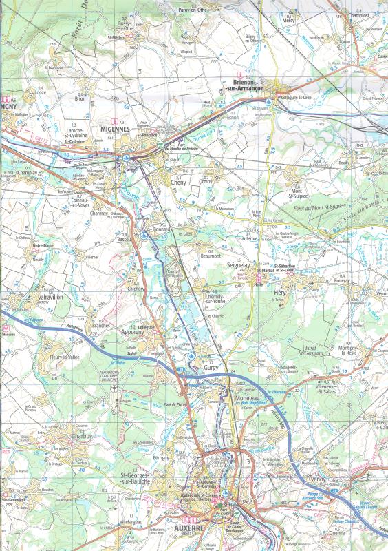
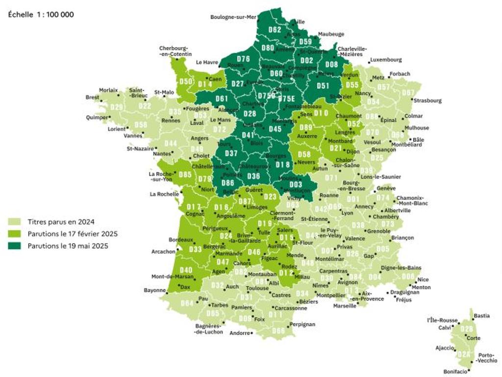
- Tourist maps of French departments in scale 1:100'000
- Tourist information
- Cycle tracks
- Hiking trails (GR)
- Index of place names
- Soft covers
- Editions 2024-2025
Related Items:
| Image | Title | Category | Price | Buy | |
|---|---|---|---|---|---|
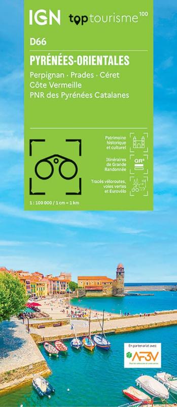 |
(D66) Pyrenees-Orientales | Tourism maps | EUR 9.95 | ||
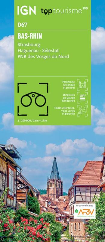 |
(D67) Bas-Rhin | Tourism maps | EUR 9.95 | ||
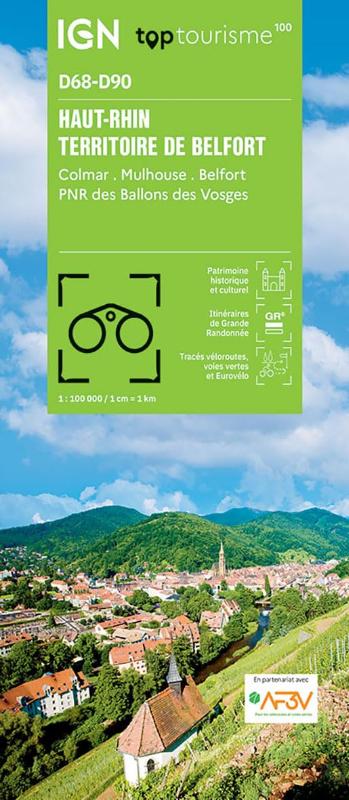 |
(D68-D90) Haut-Rhin, Territoire de Belfort | Tourism maps | EUR 9.95 | ||
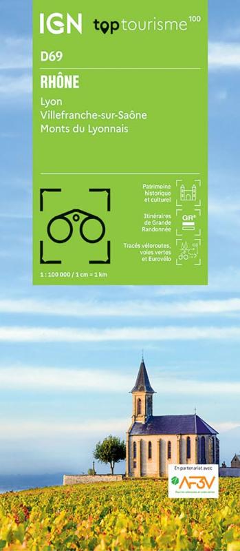 |
(D69) Rhone | Tourism maps | EUR 9.95 | ||
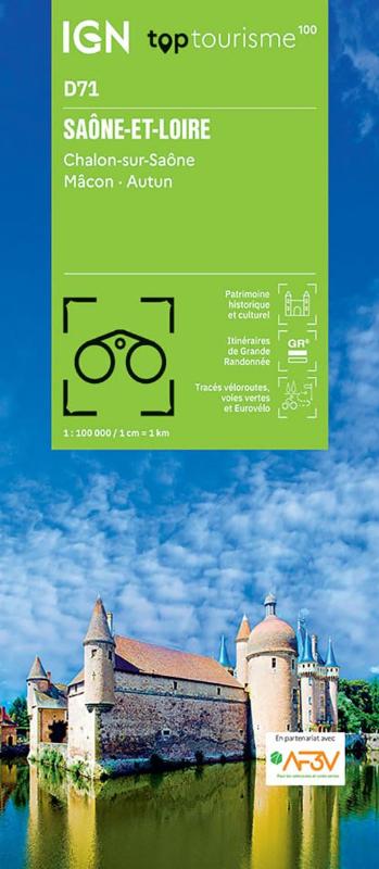 |
(D71) Saone-et-Loire | Tourism maps | EUR 9.95 | ||
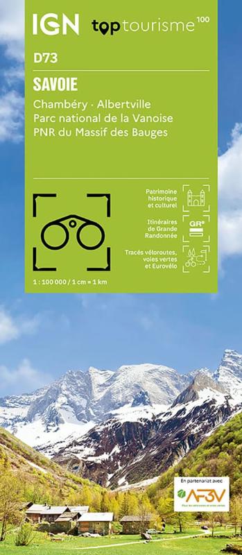 |
(D73) Savoie | Tourism maps | EUR 9.95 | Out of stock | |
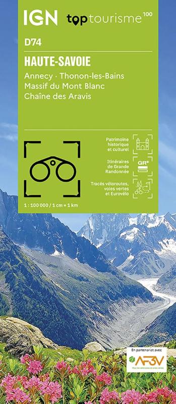 |
(D74) Haute-Savoie | Tourism maps | EUR 9.95 | ||
 |
(D75E) Ile-de-France Est | Tourism maps | EUR 9.95 | ||
 |
(D75O) Ile-de-France Ouest | Tourism maps | EUR 9.95 | ||
 |
(D76) Seine-Maritime | Tourism maps | EUR 9.95 | ||
 |
(D80) Somme | Tourism maps | EUR 9.95 | ||
 |
(D81) Tarn | Tourism maps | EUR 9.95 | ||
 |
(D82) Tarn-et-Garonne | Tourism maps | EUR 9.95 | ||
 |
(D83) Var | Tourism maps | EUR 9.95 | ||
 |
(D84) Vaucluse | Tourism maps | EUR 9.95 | ||
 |
(D86) Vienne | Tourism maps | EUR 9.95 | ||
 |
(D87) Haute-Vienne | Tourism maps | EUR 9.95 | ||
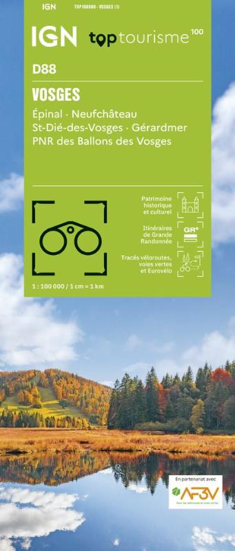 |
(D88) Vosges | Tourism maps | EUR 9.95 | ||
 |
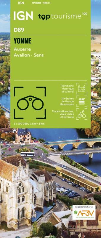
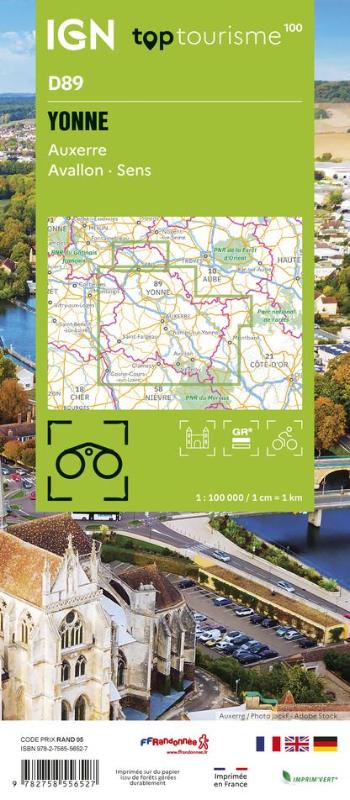
(D89) Yonne | Tourism maps | EUR 9.95 | ||
| France TOP100 (IGN) (79) | Page Nr. 4 no 4 | ||||