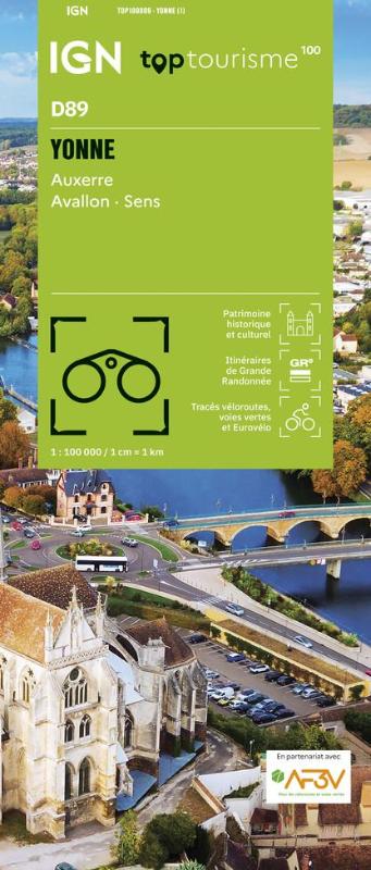
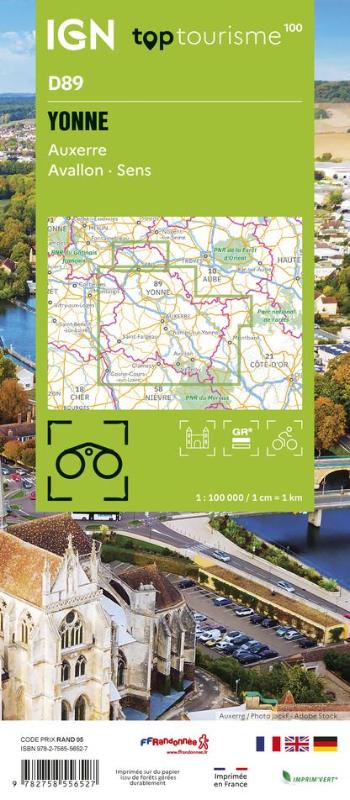
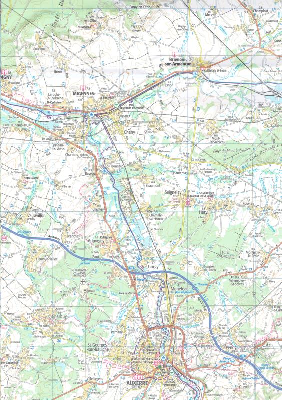
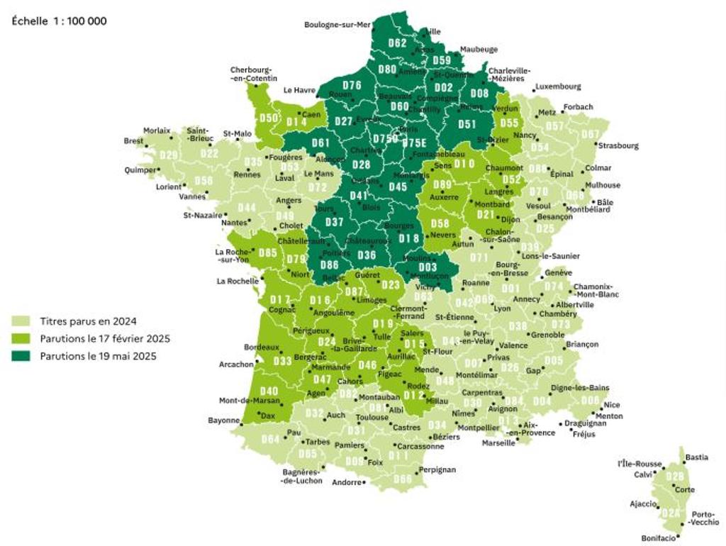
France TOP100 (IGN)

| Publisher: | Institut Geographique National |
| Scale: | 1:100'000 |
| Language: | English, German, French |
| Country: | France |
- Tourist maps of French departments in scale 1:100'000
- Tourist information
- Cycle tracks
- Hiking trails (GR)
- Index of place names
- Soft covers
- Editions 2024-2025
Related Items:
| Image | Title | Category | Price | Buy | |
|---|---|---|---|---|---|
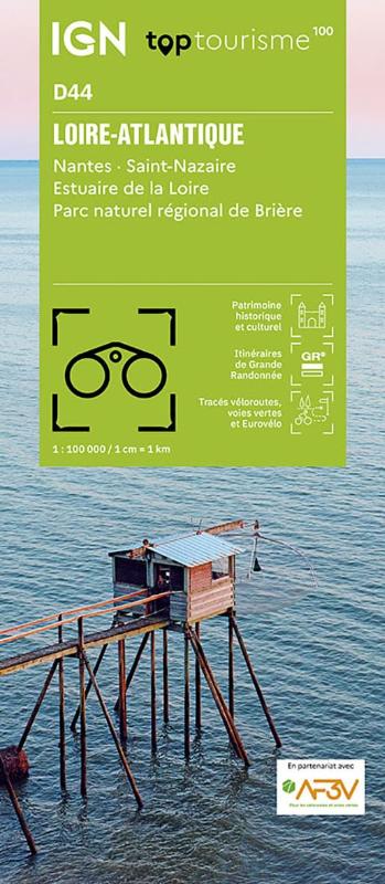 |
(D44) Loire-Atlantique | Tourism maps | EUR 9.95 | ||
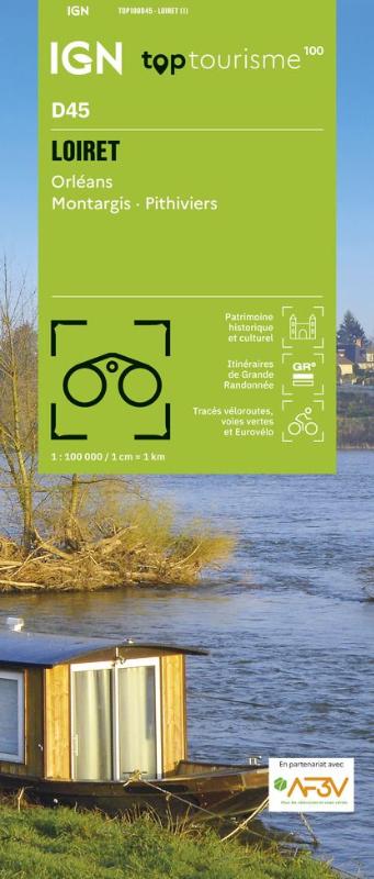 |
(D45) Loiret | Tourism maps | EUR 9.95 | ||
 |
(D46) Lot | Tourism maps | EUR 9.95 | ||
 |
(D47) Lot-et-Garonne | Tourism maps | EUR 9.95 | ||
 |
(D48) Lozere | Tourism maps | EUR 9.95 | ||
 |
(D50) Manche | Tourism maps | EUR 9.95 | ||
 |
(D51) Marne | Tourism maps | EUR 9.95 | ||
 |
(D52) Haute-Marne | Tourism maps | EUR 9.95 | ||
 |
(D53) Mayenne | Tourism maps | EUR 9.95 | ||
 |
(D54) Meurthe-et-Moselle | Tourism maps | EUR 9.95 | ||
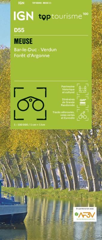 |
(D55) Meuse | Tourism maps | EUR 9.95 | ||
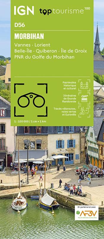 |
(D56) Morbihan | Tourism maps | EUR 9.95 | ||
 |
(D57) Moselle | Tourism maps | EUR 9.95 | ||
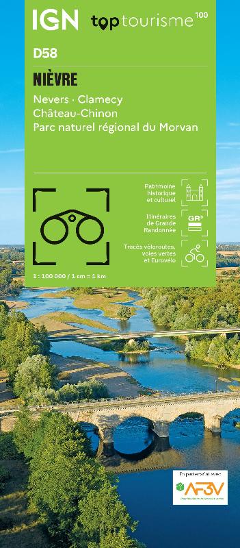 |
(D58) Nierve | Tourism maps | EUR 9.95 | ||
 |
(D59) Nord | Tourism maps | EUR 9.95 | ||
 |
(D60) Oise | Tourism maps | EUR 9.95 | ||
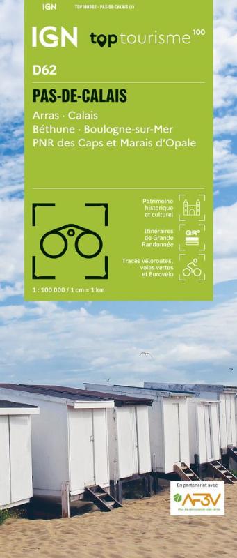 |
(D62) Pas-de-Calais | Tourism maps | EUR 9.95 | ||
 |
(D63) Puy-de-Dome | Tourism maps | EUR 9.95 | ||
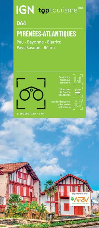 |
(D64) Pyrenees-Atlantiques | Tourism maps | EUR 9.95 | ||
 |
(D65) Hautes-Pyrenees | Tourism maps | EUR 9.95 | ||
| France TOP100 (IGN) (79) | Page Nr. 3 no 4 | ||||